Protecting Indonesia’s Biodiversity Through Connected Habitats
ICBA · 5 Nov 2026
Conversations about protecting Indonesia’s biodiversity often begin with places: a national park, a protected forest, a conservation area marked on a map. These places are essential, and many of the country’s most vulnerable species depend on them. But the long-term health of wildlife rarely depends on what happens inside a single protected area. It also depends on the quality of the habitat around it, and on whether natural areas stay connected, allowing wildlife to move and seeds and pollen to spread between them.
Few animals meet all their needs in one place. Many travel between areas where they feed, rest and breed, and young animals often move well beyond where they were born in search of territory or a mate. That movement allows populations to mix, helping maintain genetic diversity and giving isolated populations a better chance of recovering from environmental pressures or local disturbances. The benefits reach beyond the animals themselves. Birds and mammals, including bats, carry seeds and pollen between patches of forest, helping those forests regenerate and maintain their diversity over time. When those links are lost, the remaining patches of forest begin to act like islands, cut off from one another, increasing the risk of losing species they once supported.
What Indonesia’s Forests Are Revealing
A 2026 study published in the Journal of Applied Ecology shows how this plays out in practice. Researchers compared mammals in community-managed forests and neighbouring protection forests in Aceh and Bengkulu. In the more fragmented Bengkulu landscape, forest specialists and threatened species were less likely to be found in some community forests than in the nearby protection forests. Among the factors examined, the researchers' measure of forest connectivity was the strongest predictor of where mammals occurred. The researchers recorded where animals were found rather than tracking their movements. Even so, the findings carry a clear warning. A landscape can retain substantial forest cover, and even a reassuring number of species, while becoming less suitable for the wildlife most dependent on intact, connected habitats.
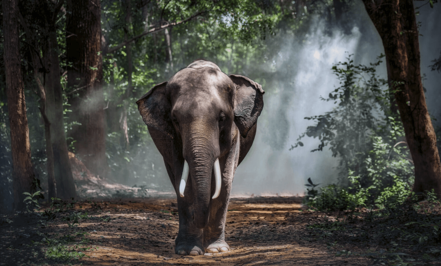
Tracking individual animals offers a more direct view. In a 2021 study co-authored by Wahdi Azmi, a member of the IUCN Asian Elephant Specialist Group and a speaker on the biodiversity panel at ICBS 2026, researchers used GPS collars to follow Sumatran elephants through Aceh. The elephants favoured gentle lowland terrain, often followed rivers and valleys through the forest, and changed their movements in response to human activity. A separate tracking report from Aceh found that most recorded locations for one female elephant lay outside designated protection forest, in production forest and land classified for other uses. The lesson is a practical one. The areas an animal needs are not always the areas set aside for its protection.
Managing the Landscape Together
Some Indonesian landscapes are already being managed with these connections in mind. Around Bukit Tigapuluh National Park, which spans Jambi and Riau, much of the lowland forest that wildlife relies on lies outside the park itself, under several different forms of management. In 2022 the Jambi provincial government issued a regulation to coordinate management of the Datuk Gedang wildlife corridor in Tebo Regency, an area where a 2023 study documented 95 potential elephant food plant species. Government agencies and conservation partners reported further habitat protection, restoration and monitoring across the wider landscape in 2026. Whether these efforts sustain wildlife over the long term will depend on continued implementation and careful monitoring. But they show a growing recognition that wildlife habitat does not follow management lines.
Every part of the surrounding landscape has a role to play. Community forest groups, farmers, timber and plantation companies, and local planning authorities all make decisions that can keep habitats connected or cut them apart. A new road, a cleared riverbank or a restoration site in the right place can change how a whole landscape functions. Even when each land manager meets its own responsibilities, decisions made in isolation can gradually turn connected forest into a scattering of islands.
That does not mean every forest must serve the same purpose or fall under a single authority. Protected areas, production forests, community land and restoration areas will each contribute in different ways. The first step is to map important habitats, wildlife movement routes and existing land uses across the wider landscape, then identify where the organisations responsible for those areas need to align their conservation priorities. Turning that understanding into practice means giving those responsible for each part of the landscape ways to share information, weigh proposed land-use changes and check whether key connections remain intact over time. Indigenous peoples and local communities, whose rights and livelihoods are directly affected and whose knowledge of local ecosystems is invaluable, need a meaningful say in those decisions. Provincial coordination, supported by national agencies and the organisations responsible for managing land on the ground, can help bring these efforts together around shared conservation priorities. The real measure of that cooperation is whether the connections between habitats actually hold.
The Kunming–Montreal Global Biodiversity Framework reflects the same principle, calling for protected and conserved areas that are well connected, effectively managed and equitably governed. Yet the Convention on Biological Diversity’s 2026 global review, considered at COP17, found that efforts to expand conservation coverage had not been matched by comparable attention to connectivity and management. Expanding protected areas remains important, but conservation progress must also consider whether those areas are effectively managed and ecologically connected.
For Indonesia, the task is to bring conservation planning and everyday land-use decisions closer to the ecological needs of its forests. Research is steadily improving what we know about where species move, which habitats they depend on and where connections are most fragile. That knowledge is most valuable when it shapes decisions across every part of the landscape, not only inside protected areas. Indonesia’s biodiversity will depend on the forests it protects, and just as much on keeping those forests connected.
Key Sources
Hughes et al. (2026) — Study of mammal occurrence and modelled forest connectivity in community-managed and protection forests in Sumatra.
Wilson, Gray, Azmi et al. (2021) — GPS-based study of Sumatran elephant habitat use in Aceh.
International Elephant Foundation / Aceh tracking report (2020) — GPS-tracking report describing land classifications associated with one collared elephant's recorded locations.
Jambi Governor Regulation No. 8 of 2022 — Management framework for the Datuk Gedang essential ecosystem area and wildlife corridor.
Fikri et al. (2023) — Study of elephant habitat suitability and potential food plants in the Datuk Gedang corridor.
Indonesia Ministry of Forestry (2026) — Reporting on Sumatran elephant corridor conservation activities in Bukit Tigapuluh.
Convention on Biological Diversity, GBF Target 3 — International target for connected, effectively managed and equitably governed conserved areas.
Convention on Biological Diversity (2026) — Global biodiversity progress review and assessment of management and connectivity.
- Habitat Connectivity
- Forest Conservation
- Landscape Planning